
Flood-Tolerant Rice Seed Deployment and Satellite-Based Flood Risk Assessment for Floodplain Rice Farmers

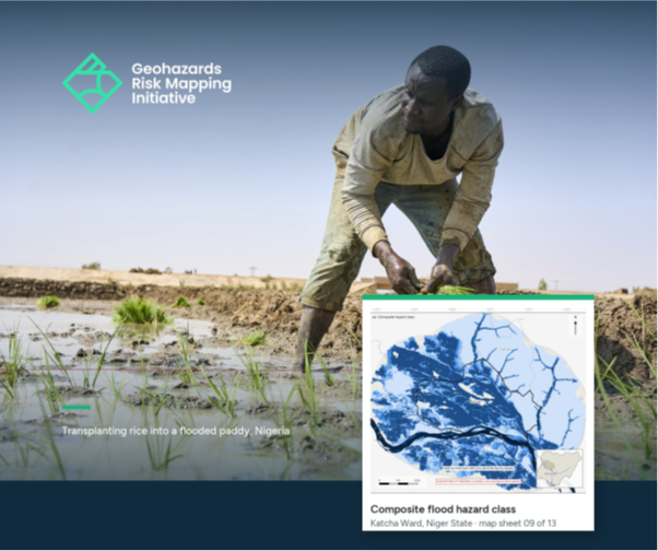
This report documents an integrated disaster risk reduction (DRR) field mission conducted by the Geohazards Risk Mapping Initiative (GRMI) in Katcha Ward, Niger State, on 10 July 2026. The mission combined agricultural support with geospatial flood risk assessment to better understand the exposure of rice farmers to recurrent flooding and support evidence-based resilience measures.
As part of the intervention, GRMI distributed 200 kg of flood-tolerant FARO 67 rice seed to 20 farmers and conducted a sensitization session on its use and management. The mission also assessed historical flood patterns from 2020–2025 using Sentinel-1 satellite imagery, land-use mapping, and elevation-based flood simulation to identify areas of rice cultivation most exposed to flooding.
Overall, the report highlights how Earth observation, local knowledge, and targeted agricultural interventions can be combined to strengthen flood resilience and support more informed planning for flood-prone farming communities in Katcha Ward.