Applying technology to crisis mapping and early warning in humanitarian settings
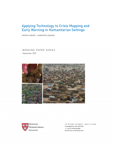
The purpose of this Working Paper on Crisis Mapping is to briefly analyze the current use, and changing role, of information communication technology (ICT) in conflict early warning, crisis mapping and humanitarian response. We demonstrate that ICTs have the potential to play an increasingly significant role in three critical ways by: facilitating the communication of information in conflict zones, improving the collection of salient quantitative and qualitative conflict data, and enhancing the visualization and analysis of patterns.

– Harvard Humanitarian Initiative, 2009

Are you sure you want to delete this "resource"?
This item will be deleted immediately. You cannot undo this action.
File Name File Size Download
publication_-_crisis_mapping_-_applying_tech.pdf 194 KB

Related Resources

Report
15 Aug 2016
“CAP on a MAP: Improving Institutional Responsiveness to Coastal Hazards through Multi-Agency Situational Awareness”presented by Tun Lin Kyaw, Department of Meteorology and Hydrology, Myanmar 
Tags: Report, Early Warning Systems
Report
22 Oct 2018
This presentation was given by Eliot Christian on 2 November, 2018, at the Filtered Alert Hub Workshop in Hong Kong, China. The PDF version provides full narrative text with small slide images; the PPT version has presentation-ready slides with narra...
Tags: Report, Early Warning Systems
Report
29 Jun 2018
This study – written by ISET-International, in collaboration with Zurich Insurance Group, and the Global Disaster Preparedness Center looks in detail at the Houston floods that resulted from Hurricane Harvey.  Based on interviews with impacted ho...
Tags: Report, Early Warning Systems, Hurricane / Typhoon / Cyclone, Urban Preparedness
Scroll to Top