GIS Support for the MSF Ebola Reponse in Guinea 2014

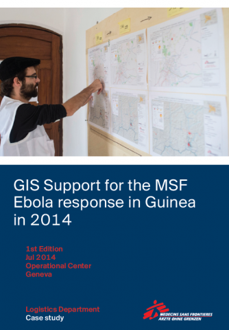
In March 2014, MSF-Switzerland deployed a dedicated Geographic Information Systems (GIS) officer to Guinea in response to the Ebola outbreak in the south of the country. In support of the epidemiological team, the GIS officer was charged with producing general overview maps, as well as topical maps that supported different aspects of the operation. This case study aims to elaborate whether the GIS officer’s mission to Guinea has succeeded in supporting the emergency response and furthering the strategic goals defined in the Strategic Paper “Development of the GIS in MSF-CH”.

– MSF 2014

Are you sure you want to delete this "resource"?
This item will be deleted immediately. You cannot undo this action.

Related Resources

Case Study, Video
28 Nov 2014
R3ADY Asia-Pacific, in collaboration with University of Gadjah Mada (UGM), Pacific Disaster Center (PDC), and University of Hawai’i’s Social Science Research Institute (SSRI), is working to develop an end-to-end framework that better links commun...
Tags: Case Study, Video, Early Warning Systems, Landslide
Guidance material
16 Jul 2020
Frequently Asked Questions (FAQ) on COVID-19 for IFRC and Red Cross Red Crescent National Societies’ personnel.
Tags: Guidance material, COVID-19 (Coronavirus)
Awareness material, Guidance material
10 May 2020
Find the following resources about General Information and Response Options: RISK, EVIDENCE, AND MODELLING Weekly & Bi-Weekly Updates – Evidence and Assessments  ACAPS Scenarios for COVID-19 Institute of Development Studies_ Secondary impacts ...
Tags: Awareness material, Guidance material, COVID-19 (Coronavirus)
Scroll to Top