Contribute your knowledge to build more resilient communities
Strengthening Early Warning Systems for All: Evidence and Lessons from Last-Mile Communities
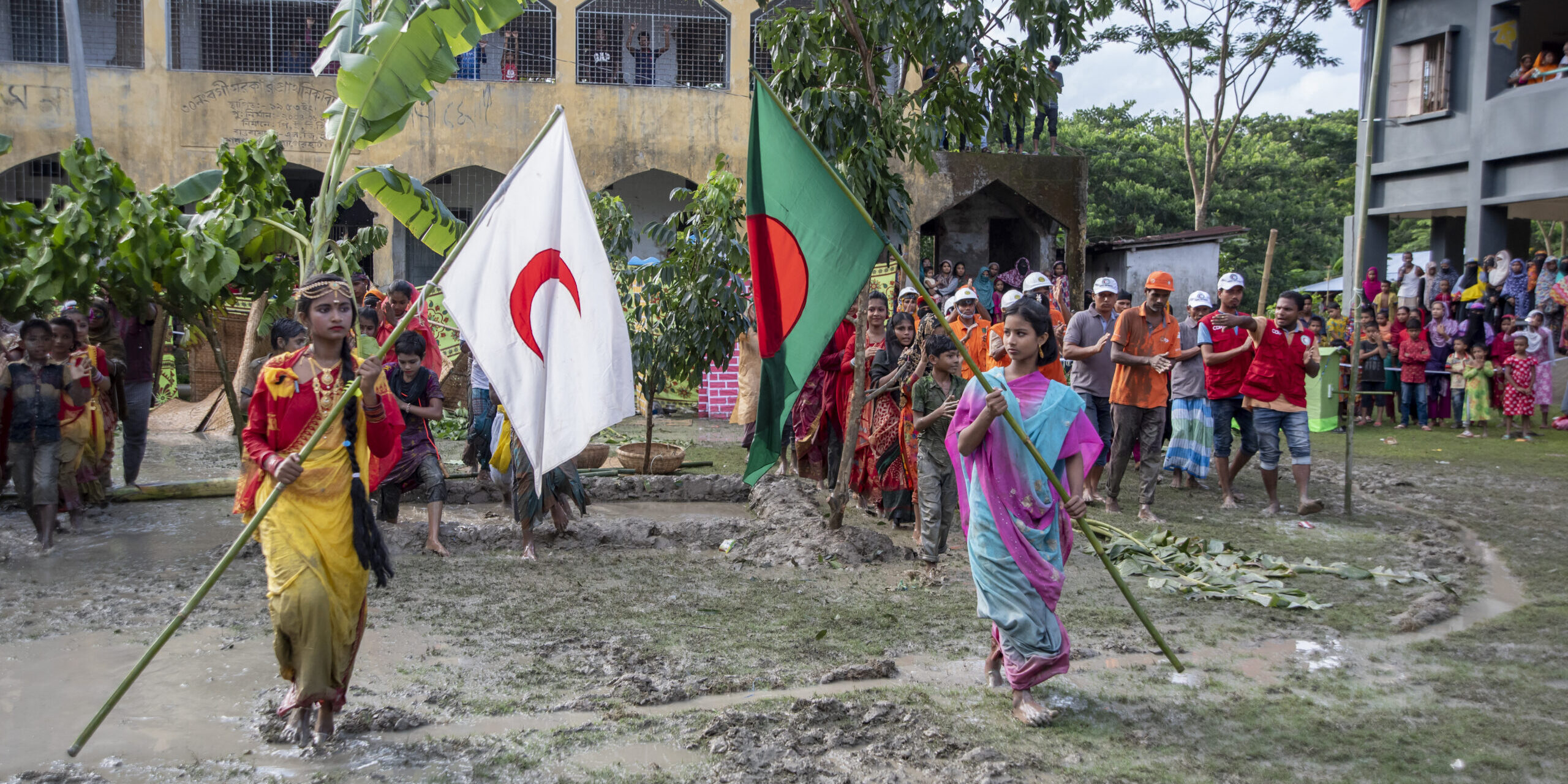
This report synthesizes findings from 15 GDPC-supported studies across 14 countries to examine why early warnings often fail to translate into timely,...
Unpacking the Summer: Learning About Heat in Adelaide
Listening Over Coffee: Stories Behind the Data The Post-Event Review Capability (PERC), developed by the Zurich Climate Resilience Alliance, offers ...
From Assessment to Action: A New Tool to Support Urban Resilience
Cities around the world are stepping up efforts to reduce disaster risk and build resilience. While many tools help identify vulnerabilities, the chal...
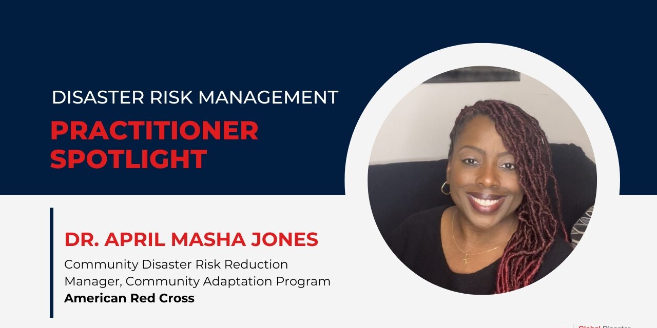
Community-First Approach: How the American Red Cross Helps Build Disaster Resilience Where It’s Needed Most
Across the United States, the American Red Cross is working to reduce disaster risks and strengthen the long-term resilience of the most vulnerable co...
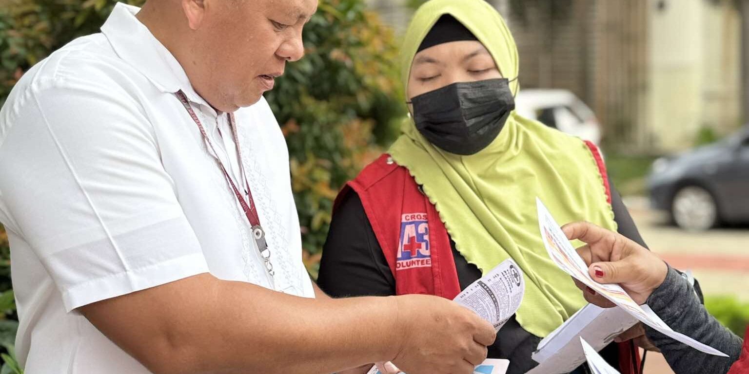
Scorched Future: The Rising Toll of Extreme Heat in the Philippines
Authors: Mia Grace Ligutan, Seth Sarmiento, Steven Villena, Cale Johnstone Rising temperatures in the Philippines, particularly in urban areas ...
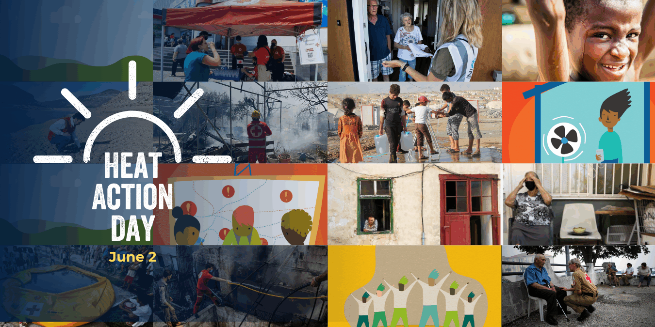
Heat Action Day 2025 – Activities to #BeatTheHeat all around the World
On Monday, June 2, 2025, we celebrated the 4th edition of Heat Action Day (HAD). As the impact of Heat Action Day spreads, our influence is a joy to q...
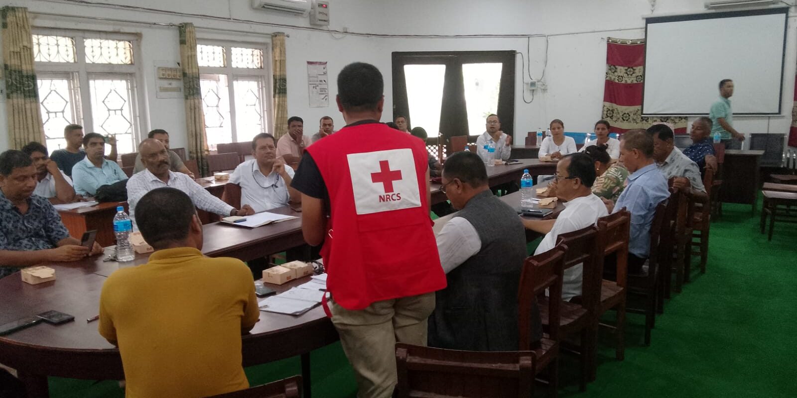
Strengthening Risk Governance from the Ground Up: Nepal’s MDRGA Tool in Action
Authors: Bhesh Parajuli | Cale Johnstone | Anil Rai Local Solutions for Local Risks Disaster risk is most acutely felt—and most effectively managed�...
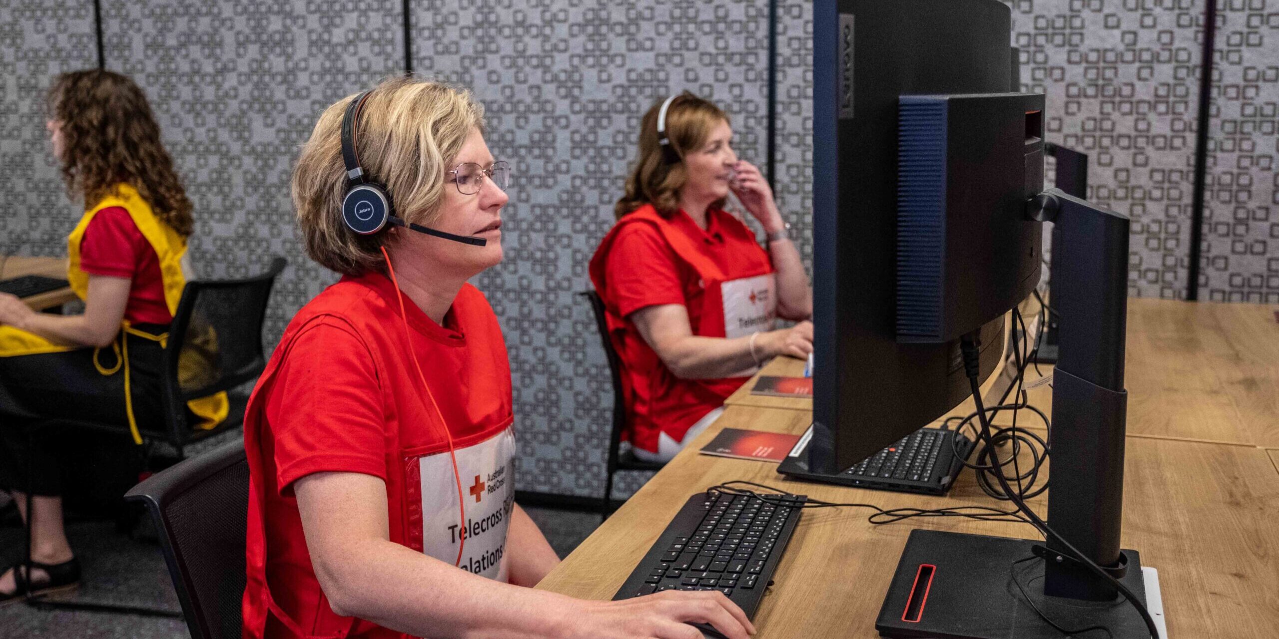
Telecross Redi: Heatwave Service
Extreme weather events pose significant risks to vulnerable populations, especially those who are isolated or have underlying health conditions. In re...
Pre-Financing Anticipatory Action: A Practical Guide for National Societies
Anticipatory action is expanding and being mainstreamed across the Red Cross Red Crescent Movement. As National Societies add more Early Action Protoc...
Double Jeopardy: Addressing compound flood and heatwave events
Compound events, such as floods and heatwaves occurring in close succession or simultaneously, can interact in a way that creates more severe outcomes...
Toolkits
Featured Resources
Briefs and Fact Sheets
Zurich Climate Resilience Alliance in the Philippines
As part of the Zurich Climate Resilience Alliance, the Philippine Red Cross, together with the International Federation of Red Cross and Red Crescent Societies, and Plan International are working with communities across the Philippines to improve community resilience, increase investment, and impro... Read More
Briefs and Fact Sheets
Zurich Climate Resilience Alliance in Fiji
As part of the Zurich Climate Resilience Alliance, the Fiji Red Cross Society, together with the International Federation of Red Cross and Red Crescent Societies, aims to enhance community resilience to floods and storms through local engagement and capacity building. Over 12 years, the Zurich Clima... Read More
Strengthening Early Warning Systems for All: Evidence and Lessons from Last-Mile Communities
This report synthesizes findings from 15 GDPC-supported studies across 14 countries to examine why early warnings often fail to translate into timely, protective action – particularly for last-mile communities that are geographically isolated, socially marginalized, or economically vulnerable.... Read More
Research
A Systematic Review of Heat Health Warning Systems: Enhancing the Framework Towards Effective Health Outcomes
Purpose of Review Heat Health Warning Systems (HHWS) reduce heat-related morbidity and mortality. We reviewed scientific studies on HHWS that use meteorological variables, local climate-epidemiological evidence, personalization, and built environment factors to determine heat stress thresholds. We i... Read More
Briefs and Fact Sheets, Case Study
Mainstreaming Accountability Culture in a Refugee Response Context
This spotlight piece highlights AAPA’s innovative approach, implementation process and achievements, and draws lessons to inform organisations aiming to achieve greater accountability to the populations they serve. Read More
Case Study, Policy and Strategy, Report, Research
Agricultural Value Chains Strategic Positioning Paper
This Agricultural Value Chains strategic positioning paper provides a roadmap to support Livelihoods and Resilience Sector Working Group (LRSWG) members’ efforts to increase farmers’ income, improve their self-sufficiency, and support their progress from subsistence towards commercial production... Read More
Case Study, Policy and Strategy, Report, Research
Digital Savings Groups in Uganda – A Learning Brief
The Digital Savings Group Learning brief offers critical reflections on whether a savings group in the Uganda refugee response is ready to go digital, on the objectives for pursuing digitisation/digitalisation, and on key challenges in making the shift. The DSG Learning Brief was developed in collab... Read More
Guidance material, Manual
Support tool: Checklist for Moving Savings Group Digital criteria
This criteria checklist is a support tool developed by the Livelihoods and Resilience Sector Working Group, with support from U-Learn. It’s specifically designed to support actors with the Uganda refugee response – for a more general tool please see the Digital Savings Group Toolkit: Digital Pr... Read More

