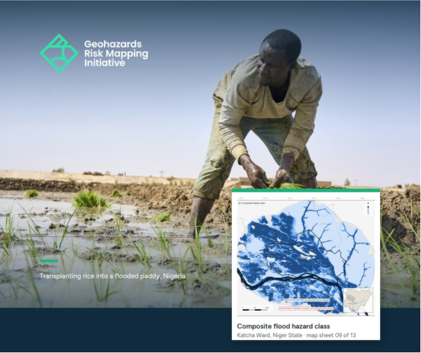
Flood-Tolerant Rice Seed Deployment and Satellite-Based Flood Risk Assessment for Floodplain Rice Farmers
This report documents an integrated disaster risk reduction (DRR) field mission conducted by the Geohazards Risk Mapping Initiative (GRMI) in Katcha Ward, Niger State, on 10 July 2026. The mission combined agricultural support with geospatial flood risk assessment to better understand the exposure of rice farmers to recurrent flooding and support evidence-based resilience measures. As