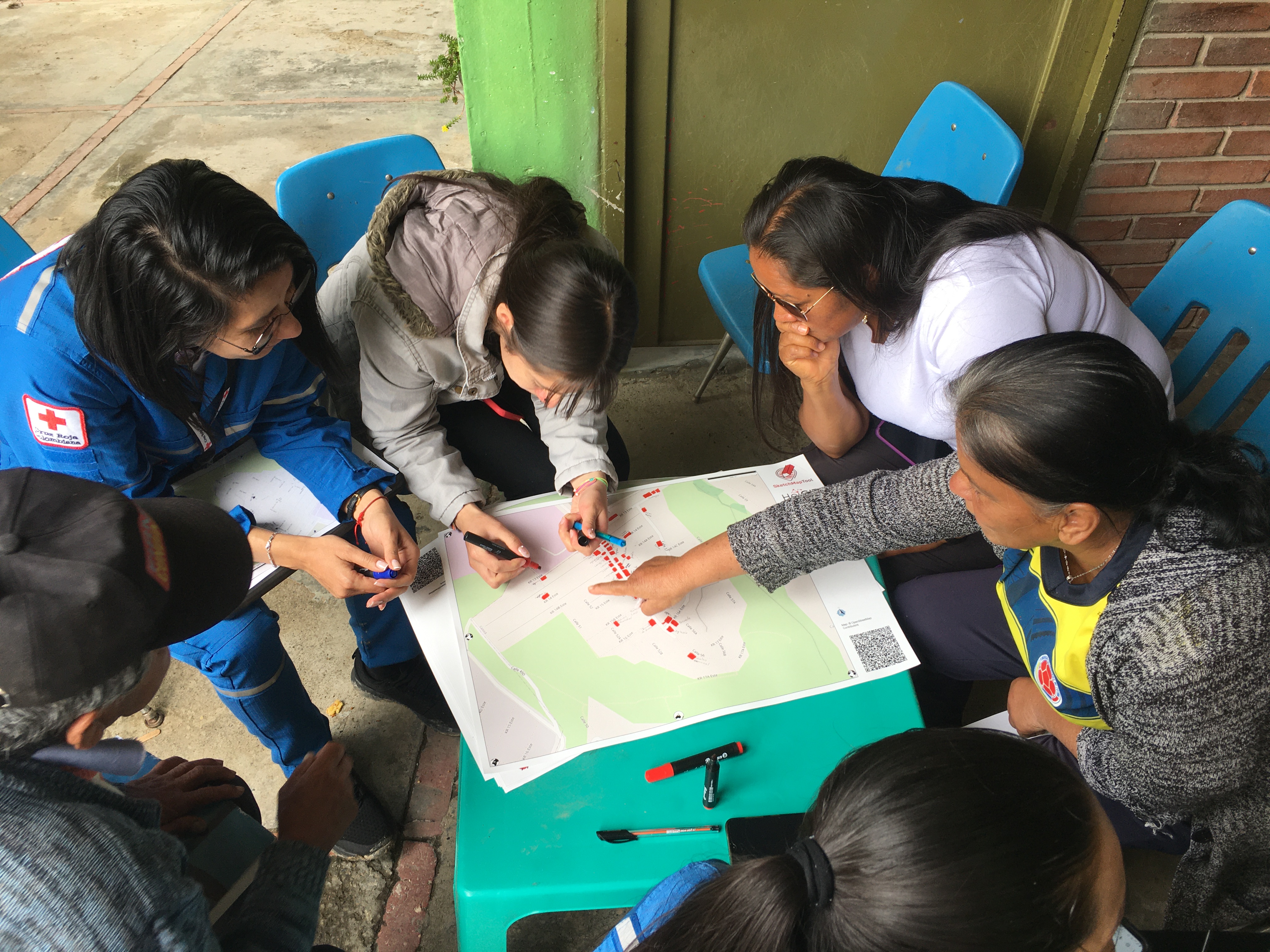
Digitalizing Paper-Based Community mapping in the EVCA

Community mapping in paper-based formats is low-cost, technology-independent, that is easily facilitated, and adopted at the community level. However, the output can be less sustainable compared to digital map products. The digitalization of the community data comes with the loss of information and is time-intensive because the geolocation and therefore the exact location and extent of mapped elements can only be transposed to a digital format by individuals with detailed technical knowledge.
The Sketch Map Tool simplifies participatory mapping, by facilitating the creation and digitalization of paper-based maps, the so-called Sketch Maps. This low-tech solution enables the offline collection of local knowledge and perceptions with pens and paper maps. Every Sketch Map contains a basemap with OpenStreetMap data, which provides a scale and orientation. Upon uploading pictures of marked maps, the tool automatically digitizes and georeferences the markings, making it downloadable for integration into Geographic Information Systems. The Sketch Map Tool bridges the gap between widely used, analogue mapping and digital analysis and fosters community involvement and the usability of gained results.
