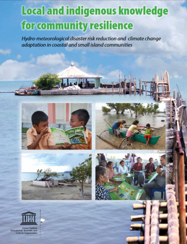
Local and Indigenous Knowledge for Community Resilience
Coastal communities living in archipelago countries and small island states in Asia are particularly vulnerable to the impacts of hydro-meteorological hazards such as storms, droughts, landslides, and floods. Environmental degradation such as deforestation, desertification, biodiversity loss, soil erosion, and climate change, as well as social factors such as poverty and inequality, further compound their exposure […]
Local and Indigenous Knowledge for Community Resilience Read More »