Urban Preparedness

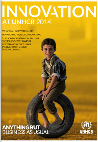
UNHCR Mid Year Trends 2014

This report is the second of its kind, analyzing displacement trends within the first half of 2014. The figures in this report were collected from governments and UNHCR offices around the world. UNHCR introduced a new online data collection tool to enhance the organization’s capacity to collect and analyse mid-year statistical data. In addition to […]

UNHCR Mid Year Trends 2014 Read More »

Cash transfer programming in urban emergencies: A toolkit for practitioners

In recognition of the increasing urban populations around the world and their increasing vulnerability to disasters, the Cash Learning Partnership (CaLP) endeavoured to investigate the current status and impact of urban emergency response programmes that utilise cash transfer programming. This study aimed to better understand the collective preparedness for future urban emergency responses, and identify

Cash transfer programming in urban emergencies: A toolkit for practitioners Read More »

Nepal Land Tenure Profile

This report by USAID looks at the recent state of land use, land distribution, and tenure types in Nepal. The report also explores the processes for securing land rights, community-based land reforms, increasing women’s legal rights related to land and tenure, and managing land disputes and conflicts. (USAID, Sept 2010) Nepal Land Tenure Profile http://usaidlandtenure.net/sites/default/files/country-profiles/full-reports/USAID_Land_Tenure_Nepal_Profile.pdf

Nepal Land Tenure Profile Read More »

UN-Habitat Urban Data

Free interactive data base on open access to data about countries and cities around the globe. AboutThe urban indicators data available here are analyzed, compiled and published by UN-Habitat’s Global Urban Observatory which supports governments, local authorities and civil society organizations to develop urban indicators, data and statistics. Urban statistics are collected through household surveys and censuses conducted

UN-Habitat Urban Data Read More »

GIS Use Cases

American Red Cross International Services Department (ISD) has piloted and refined applications of Geographic Information Systems (GIS) to its core programming and response activities. In this time, we’ve found that the best tools and the most effcetive approaches meant little without strong relationships with our program staff rooted in their day-to-day realities of program management

GIS Use Cases Read More »

Orchestrating infrastructure for sustainable Smart Cities

This White Paper is the fifth in a series whose purpose is to ensure that the IEC can continue through its International Standards and Conformity Assessment services to solve global problems in electrotechnology. The White Papers are developed by the IEC MSB (Market Strategy Board), responsible for analyzing and understanding the IEC’s stakeholder environment, so

Orchestrating infrastructure for sustainable Smart Cities Read More »

Scroll to Top