Dale Kunce
dale.kunce@redcross.org
Senior Geospatial Engineer and Geographic Information Systems Team Lead
Dale Kunce leads the international Geographic Information Systems (GIS) team and he is responsible for the adoption of open source software, open data standards and crowd sourcing to supercharge the international work at the American Red Cross.
Kunce is a geospatial engineer and urban planner with more than 10 years of experience. He and his team support programs and projects for both international disaster response and long-term programs. His recent projects include founding Missing Maps, a project to map the world's vulnerable people, and leading the global Red Cross network’s GIS analysis and coordination for the Typhoon Haiyan response in the Philippines.
Kunce’s past work has taken him from community organizing in the California Central Valley and developing analytics for pandemic response in Uganda to helping astronauts capture high-resolution imagery from the International Space Station. He is a proud alumnus of the University of California, Davis.
Case Study
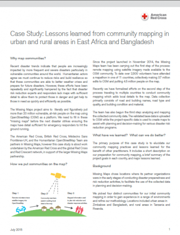
The Missing Maps project aims to literally and figuratively put more than 20 million vulnerable, at-risk people on the map using OpenStreetMap (OSM) as a platform. We need to fill in these “missing maps” before the next disaster strikes ensuring ...