Case Study: Lessons learned from community mapping in urban and rural areas in East Africa and Bangladesh

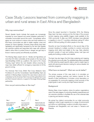
The Missing Maps project aims to literally and figuratively put more than 20 million vulnerable, at-risk people on the map using OpenStreetMap (OSM) as a platform. We need to fill in these “missing maps” before the next disaster strikes ensuring the maps have detail sufficient for emergency responders to hit the ground running.

The American Red Cross, British Red Cross, Médecins Sans Frontières-UK, and the Humanitarian OpenStreetMap Team are partners in Missing Maps, however this case study is about work undertaken by the American Red Cross and the global Red Cross and Red Crescent network, in support of the larger Missing Maps partnership.

American Red Cross, 2015.

Are you sure you want to delete this "resource"?
This item will be deleted immediately. You cannot undo this action.
File Name File Size Download
case_study_community_mapping_aug6.pdf 3 MB

Related Resources

Research
13 Jan 2017
The World Risk Report 2016 analyses the role that infrastructure plays in shaping a country’s disaster risk. The World Risk Index, calculated by the University of Stuttgart, is an integral part of the report as it ranks 171 countries according to ...
Tags: Research, Risk Assessment, Risk Transfer and Disaster Management
Assessment or evaluation, Research, Review
19 Oct 2020
1. Overview The “Aide internationale de la Croix-Rouge Luxembourgeoise” (AI CRL) has been working since 2013 in Diffa, Niger. In close collaboration with the Nigerian Red Cross (NRC), it carries out interventions in the field of shelters for disp...
Tags: Assessment or evaluation, Research, Review, Livelihoods and Food Security, Shelter
Research
29 Apr 2015
This report by USAID looks at the recent state of land use, land distribution, and tenure types in Nepal. The report also explores the processes for securing land rights, community-based land reforms, increasing women’s legal rights related to ...
Tags: Research, Urban Planning
Scroll to Top