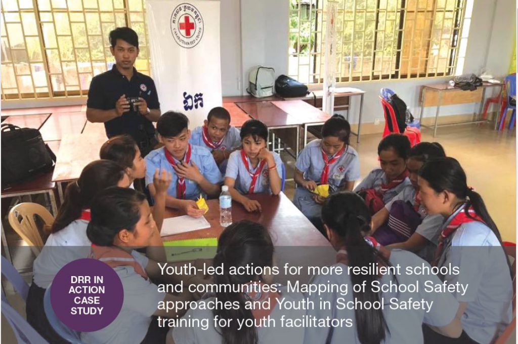
Youth-led actions for more resilient schools and communities: Mapping of School Safety approaches and Youth in School Safety training for youth facilitators
National Societies have been implementing a wide range of school-based, youth-led actions geared toward disaster risk reduction, first aid, hygiene and health promotion, water and sanitation, road safety, and youth empowerment. With guidance from IFRC, the RCRC Southeast Asia Youth Network (SEAYN) took the lead in piloting the Youth in School Safety program, which trained […]