Digital mapping the cities and communities to understand risks and vulnerabilities
Around ending of December to January month as a way of complimenting the achievements of the previous City-Wide Risk Assessment Tanzania Red Cross Society (TRCS) in collaboration with ARDHI and Climate Change Alliance (ZACCA) conducted the GIS-based Mapping in both part of Tanga and Unguja cities. The assessment aiming at developing municipality-level GIS-based Base Map showing the details of existing land use pattern, including other associated features and attributes. The maps may be considered to assist in strategic planning, resource utilization management, planning and management of day-to-day operations and for the preparation of municipality-level disaster and climate risk management planning.
Both ARDHI University and ZACCA foundation assessments focused in 20 wards, 10 each from both cities of Unguja and Tanga to the most affected areas with climate change and its geographical positioning to disasters particularly to Flooding, Coastal erosion, Salt water intrusions, Sea level rise and extremely heat.in two cities.
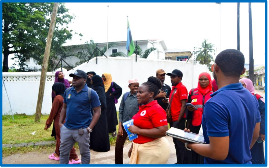
Both team of ZACCA and ARDHI university success data surveying and collection in collaborating with TRCS (Staff and Volunteers) were all 20 wards/Shehia visited, collected and mapped per cities by using drone images.
During data collection all datasets including information on offices, hospitals, schools, health centers, bus routes, bus stations, main roads, and railway are collected. This data was gathered through a combination of on-site surveys, collaborations with local authorities and institutions.
The maps intricately detail vital structural assets, critical infrastructure, and various facilities and services essential for urban planning and disaster management purposes.
Read Full report here.
TRC_CWRA_GIS_Report Tanga city
ZACCA-FINAL GIS MAPPING REPORT-UNGUJA

Example of satellite images captured during data collection at Tanga city