Crisis Mapping

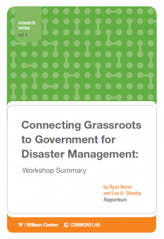
Connecting Grassroots to Government for Disaster Management: Workshop Summary

The growing availability and use of social media and other mass collaboration technologies present new opportunities and challenges for disaster management. Platforms now exist that permit collection of data from broad constituencies and rapid communication with endangered communities, but this new interface between the informality of “the crowd” and the formality of policy frameworks raises […]

Connecting Grassroots to Government for Disaster Management: Workshop Summary Read More »

GIS Use Cases

American Red Cross International Services Department (ISD) has piloted and refined applications of Geographic Information Systems (GIS) to its core programming and response activities. In this time, we’ve found that the best tools and the most effcetive approaches meant little without strong relationships with our program staff rooted in their day-to-day realities of program management

GIS Use Cases Read More »

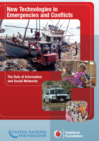
New technologies in emergencies and conflicts

A look at the use of communications technology during disasters in recent years shows that while it has played a positive role, its full potential has not yet been realized. Moreover, governments, humanitarian agencies, and local communities face challenges and risks associated with modern technological innovation. These include: – Information flows must be two-way to be effective—from

New technologies in emergencies and conflicts Read More »

TEDxKC – Patrick Meier – Changing The World, One Map At A Time

Maps have always been a source of fascination and intrigue. Today’s maps, however, can also help to save lives during disasters, document human rights abuses and monitor elections in countries under repressive rule. This presentation will explain how today’s live maps can combine crowds and clouds to drive social change. Patrick Meier is Director of

TEDxKC – Patrick Meier – Changing The World, One Map At A Time Read More »

Crowdsourcing Crisis Information in Disaster-Affected Haiti

This report was commissioned by the United States Institute of Peace’s Center of Innovation for Science, Technology, and Peacebuilding and Haiti Working Group. It examines the role of Ushahidi, a crisis-mapping platform, in the disaster relief effort following the 2010 earthquake in Haiti. Ushahidi provided the international community with access to actionable intelligence collected directly

Crowdsourcing Crisis Information in Disaster-Affected Haiti Read More »

Applying technology to crisis mapping and early warning in humanitarian settings

The purpose of this Working Paper on Crisis Mapping is to briefly analyze the current use, and changing role, of information communication technology (ICT) in conflict early warning, crisis mapping and humanitarian response. We demonstrate that ICTs have the potential to play an increasingly significant role in three critical ways by: facilitating the communication of

Applying technology to crisis mapping and early warning in humanitarian settings Read More »

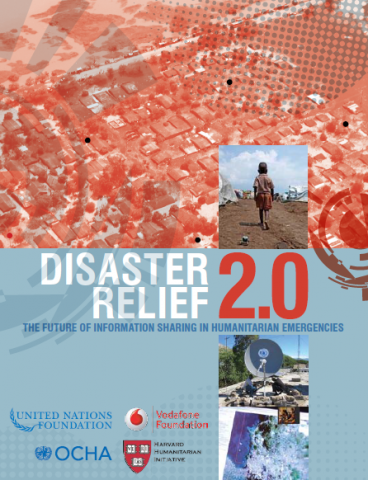
Disaster Relief 2.0: The future of information sharing in humanitarian emergencies

After a large-scale disaster, there is always a massive effort to collect and analyze large volumes of data and distill from the chaos the critical information needed to target humanitarian aid most efficiently. But the response to the 2010 earthquake in Haiti was different. For the first time, members of the community affected by the

Disaster Relief 2.0: The future of information sharing in humanitarian emergencies Read More »

Crisis Mapping

Crisis Mapping Crisis mapping is the real-time gathering, visualizing, and analysis of data during conflict and disaster settings. With increasing use of mobile technology, internet connectivity, and social networking, information technology is playing a vital and evolving role in improving the efficiency and effectiveness of disaster response. Through free and open-source software such as Ushahidi,

Crisis Mapping Read More »

Guidelines for the use of new media by the public in crisis situations: Tips and tricks for citizens

This report provides guidelines that citizens may help in the optimal use of social media during crisis situations. Tips and tricks are formulated for the different roles that citizens can take.   Tips and tricks for citizens: How to use new media during crisis situations? http://www.cosmic-project.eu/sites/default/files/deliverables/D6.1.pdf

Guidelines for the use of new media by the public in crisis situations: Tips and tricks for citizens Read More »

The Use of Social Media in Risk and Crisis Communication

This report highlights the changing landscape of risk and crisis communications and in particular how social media can be a beneficial tool, but also create challenges for crisis managers. It explores different practices of risk and crisis communications experts related to the use of social media and proposes a framework for monitoring the development of practices among countries

The Use of Social Media in Risk and Crisis Communication Read More »

Scroll to Top