Crisis Mapping

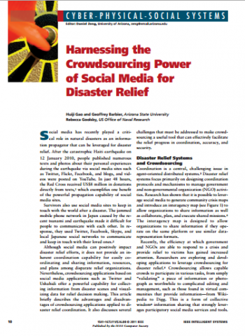
Harnessing the Crowdsourcing Power of Social Media for Disaster Relief

Crowdsourcing integrated with crisis maps has been a powerful tool in humanitarian assistance and disaster relief. Future crowdsourcing applications must provide capabilities to better manage unstructured messages and enhance streaming data. Enhancements will also include methods of fusing information with data from other sources, such as geological data about fault lines and reports of various

Harnessing the Crowdsourcing Power of Social Media for Disaster Relief Read More »

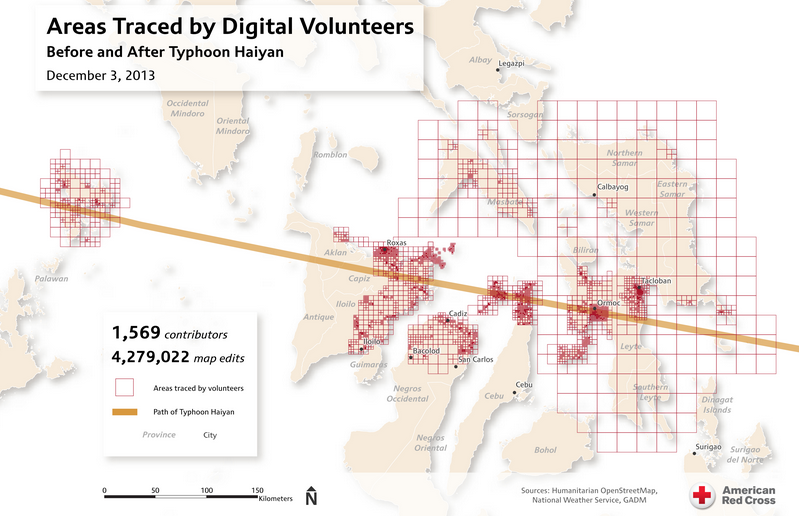
ICCM 2013: Jus MacKinnon: Media Monitoring in support of UN-OCHA’s response to Typhoon Yolanda

Justine MacKinnon from the Standby Task Force discusses Media Monitoring and Mapping in support of UN-OCHA’s response to Typhoon Yolanda. Working with the Digital Humanitarian Network & wonderful volunteers from around the world to examine over 60 different hashtags on twitter, they collected over 1 million tweets that were then thrown to the crowd via

ICCM 2013: Jus MacKinnon: Media Monitoring in support of UN-OCHA’s response to Typhoon Yolanda Read More »

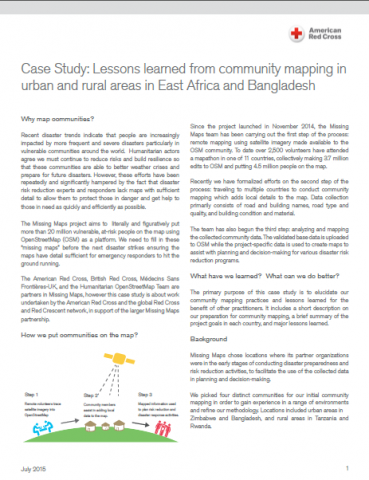
Case Study: Lessons learned from community mapping in urban and rural areas in East Africa and Bangladesh

The Missing Maps project aims to literally and figuratively put more than 20 million vulnerable, at-risk people on the map using OpenStreetMap (OSM) as a platform. We need to fill in these “missing maps” before the next disaster strikes ensuring the maps have detail sufficient for emergency responders to hit the ground running. The American

Case Study: Lessons learned from community mapping in urban and rural areas in East Africa and Bangladesh Read More »

Thematic Mapping for Disaster Risk Assessment in Case of Earthquake

This paper examines some problems that arise in thematic mapping for disaster management in case of earthquake due to the various types, structure and classification of data provided by various organizations. It represents some of the efforts performed within the framework of the university UACEG-CNIP research project dealing with a conceptual model for information system

Thematic Mapping for Disaster Risk Assessment in Case of Earthquake Read More »

OpenStreetMap in Humanitarian Response

The following story was written by Lena Kang, GDPC Knowledge Management Intern, based on the learning events and discussions at the inaugural HOT Summit, hosted by the American Red Cross. HOT’s evolving role in humanitarian response At last week’s inaugural Humanitarian OpenStreetMap Team (HOT) Summit, dozens of humanitarians, geographers, programmers, community builders, and volunteer mappers

OpenStreetMap in Humanitarian Response Read More »

Scroll to Top