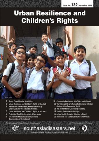
Urban Resilience and Children’s Rights
This issue of Southasiadisasters.net focuses on the theme of ‘Child Centered Disaster Management Planning in India.’ As widespread poverty and climate change exacerbate the risk of disasters on children, it is time to embed corrective policy mechanisms that protect children against such risks. State and district disaster management plans are the instruments through which this […]
Urban Resilience and Children’s Rights Read More »


